A WINTER STORM WARNING is in effect until 9pm/12am tonight for portions of southern, central, and north-central Montana. Up to 3 inches of new snow accumulation is possible.
A WINTER WEATHER ADVISORY is in effect until 8pm/9pm/12am tonight for portions of central and eastern Montana. Up to 2 inches of new snow accumulation is possible.

There are going to be scattered snow showers around tonight, generally before midnight and generally in locations east of I-15, as a storm system begins to depart our area. We are also going to have mostly to partly cloudy skies tonight. It is also going to be cold tonight as lows are going to be in the teens and low 20s in most locations. Roads are also going to be very slippery tonight as any moisture on the pavement is going to freeze and roads are still slushy/icy in some areas from the snow that fell during the day today.
For tomorrow, we are going to have decreasing clouds with a few isolated snow showers around, generally in locations east of I-15. There is also going to be a bit of a breeze around tomorrow in locations east of I-15 as sustained wind speeds are going to be between 10 and 20 mph, and this wind is going to cause there to be some blowing snow around. It is also going to be chilly tomorrow as highs are going to be in the 30s and upper 20s in most locations.
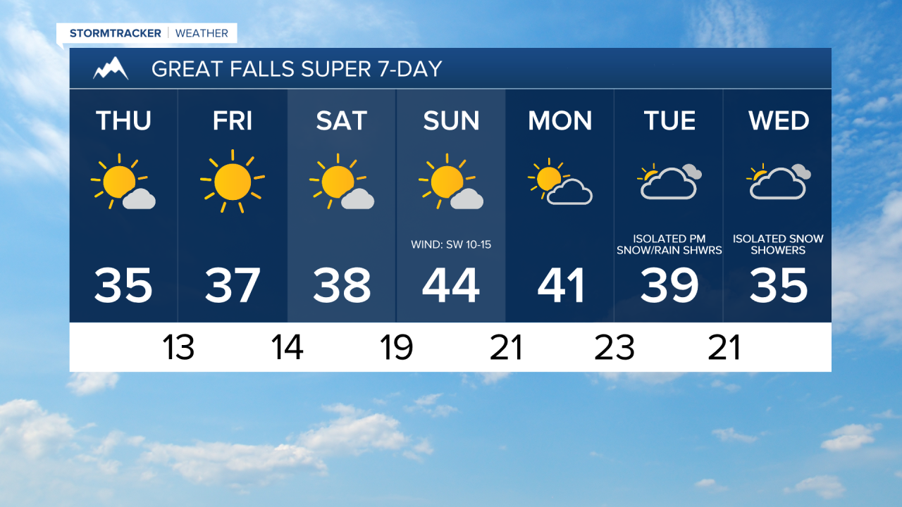
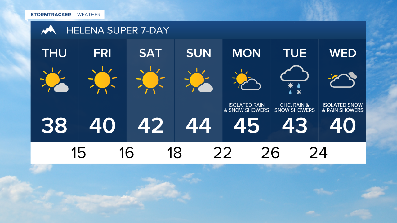
Mostly to mainly sunny skies and dry conditions are then expected on Friday, Saturday, and Sunday as high pressure is going to be in control of our weather. We are also going to have below average temperatures on these three days as highs are going to be in the 20s, 30s, and low to mid 40s, and the coldest temperatures are going to be along the Hi-Line east of I-15. There is also going to be little wind around on these three days as sustained wind speeds are generally going to be between 5 and 15 mph.
On Monday, we are going to have partly cloudy skies with some isolated rain and snow showers around, generally during the afternoon/evening and mainly around the Helena area. It is also going to be chilly/cool on Monday as highs are going to be in the 20s, 30s, and low to mid 40s, with the coldest temperatures along the Hi-Line.
We are then going to have a chance to see some rain and snow showers on Tuesday and Wednesday, especially around the Helena area, as a storm system impacts our area. We are also going to continue to have below average temperatures on these two days as highs are going to be in the 20s, 30s, and low 40s in most locations.