There are going to be a few snow and rain showers around this evening and tonight in northeastern Montana and along the eastern half of the Hi-Line (Hill County and eastward) as a disturbance clips our area. Elsewhere, it is going to be dry tonight. We are also going to have mostly clear skies and chilly temperatures tonight as lows are going to be in the 20s and low 30s. The wind is also going to gradually diminish from west to east as we go through tonight.
For tomorrow, we are going to have mostly to mainly sunny skies and seasonable temperatures as highs are going to be in the 40s and low 50s. There is also going to be a lot less wind around tomorrow as sustained wind speeds are going to be between 5 and 20 mph, with the strongest wind in northeastern Montana, in the mountains in central Montana, and along the Rocky Mountain Front. Most locations are also going to be dry tomorrow, but there will be some isolated snow and rain showers around in northeastern Montana during the second half of the day.
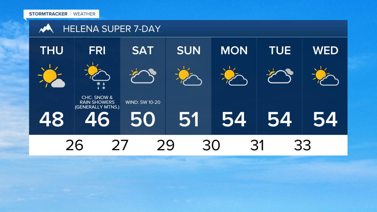
On Friday, we are going to have partly to mostly cloudy skies with some snow and rain in western Montana and in the Rockies as a disturbance passes through our area. East of the Rockies, there are only going to be some isolated snow and rain showers around, generally in the mountains. Breezy conditions are also expected on Friday along the Rocky Mountain Front and out through Cut Bank, Great Falls, and Stanford as sustained wind speeds are going to be between 10 and 25 mph. Also, highs on Friday are once again going to be in the 40s and low 50s.
We are then going to have widespread gusty to strong winds Saturday and Saturday night as wind gusts up to 65 mph are possible along the Rocky Mountain Front, and wind gusts up to 50 mph are possible elsewhere. The wind is then going to gradually decrease from west to east as we go through Sunday. Also, this wind is going to be coming out of the west or the southwest in most locations.
The temperatures are also going to warm up some this weekend as highs are going to be in the mid to upper 40s and low to mid 50s on Saturday, and the upper 40s and low to mid 50s on Sunday. On Saturday, we are going to have partly to mostly cloudy skies with some snow and rain in the Rockies and in western Montana. Mainly dry conditions are expected east of the Rockies. We are then going to have partly cloudy skies and dry conditions on Sunday.
Well above average temperatures for this time of year are then expected Monday through Wednesday as highs are going to be in the 50s and low to mid 60s. We are also going to have partly to mostly cloudy skies and mostly dry conditions on Monday and Tuesday, and partly cloudy skies and mostly dry conditions on Wednesday as high pressure is going to be in control of our weather. There is also going to be a bit of a breeze around on these three days in some areas as sustained wind speeds are going to be between 10 and 20 mph.