
WEATHER DISCUSSION: Low temperatures warm a bit tonight, reaching back above-zero in the single digits up to the teens and 20s. Winds will once again be on the lighter side tonight, with 5 to 10 mph winds and gusts up to 30 – 30 mph.
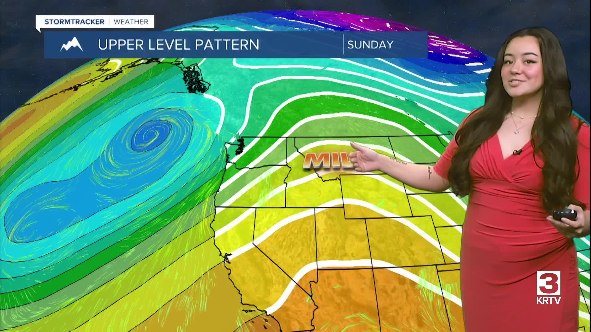
Upper-level ridging continues to promote warm temperatures across the plains into Monday as winds begin to increase. Snow begins along the Continental Divide tonight lasting through tomorrow, and while there is a risk for localized drifting snow, widespread impacts remains on the lower side.
One of the biggest impacts Monday will be the windy conditions that look to hit the strongest around the afternoon around 50-70 mph. This will help rise well above average, largely persisting through the week. Expect high temperatures to warm back into the 40s and 50s for much of Central and North Central tomorrow, though locations around the Rocky Mountain Front and Continental Divide will see temperatures peaking into the upper-30s.
Pacific moisture will bring a few periods of snow along the Continental Divide this week. The first period of snow that looks more impactful arrives early during the day Monday, lasting into Tuesday, primarily impacting areas north of Lincoln - including Marias Pass and along the Continental Divide. Lower elevation areas and along the plains look to be safe from snow accumulation at this time.
A rather potent wave then arrives Tuesday night, which will help propel a Pacific front across the region. A band of snow is likely late Tuesday night into early Wednesday, mostly across Southwest Montana.
Expect stronger winds to continue through Friday with additional snow along the Continental Divide over this timeframe, mainly north of Lincoln. A weak Canadian cold front will drop south across the region next weekend bringing minor cooling below freezing with some light snow over the plains, though it is possible that a stronger front will move in, creating better opportunities for lower elevation snow accumulation.
