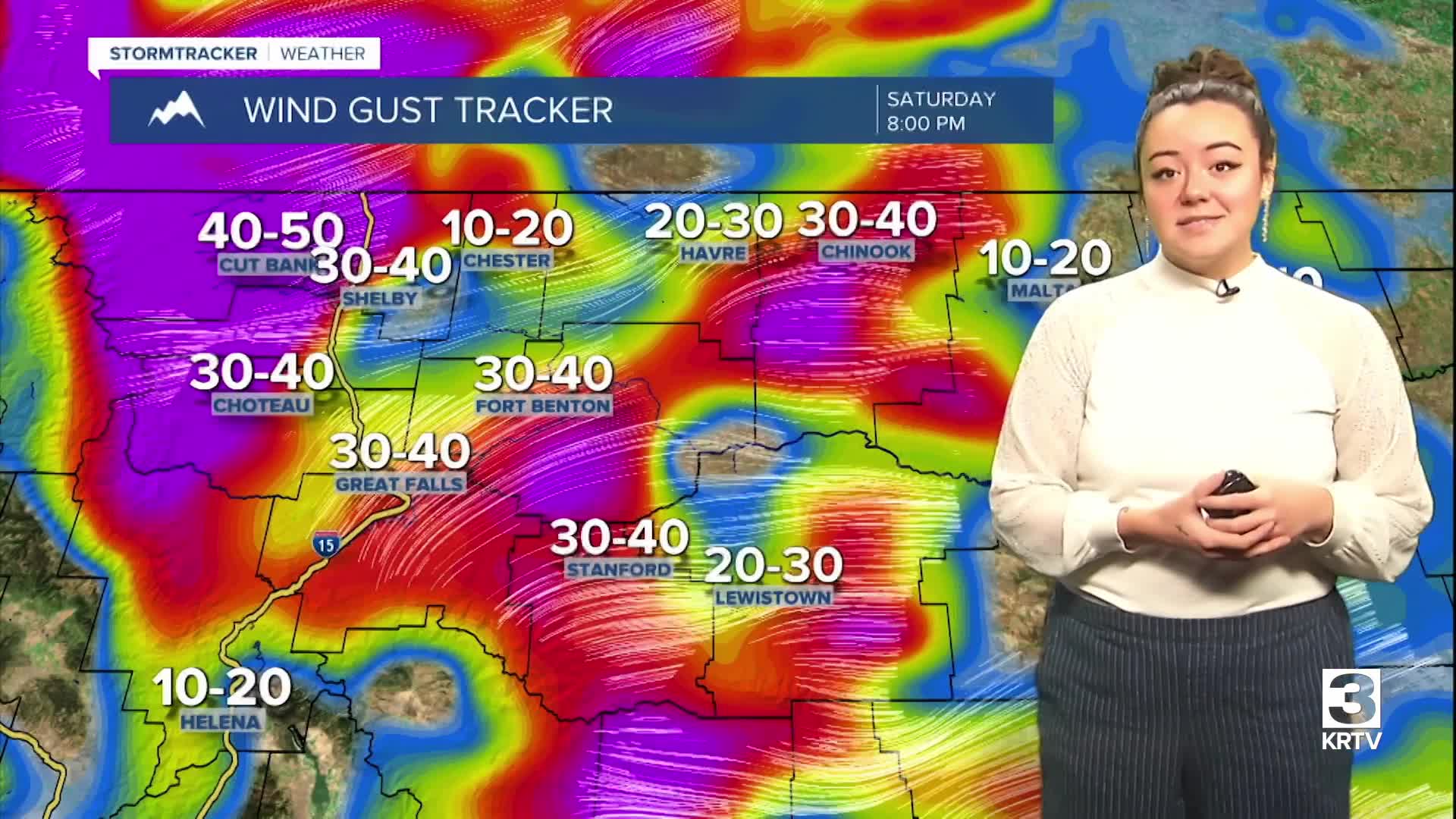
WEATHER DISCUSSION: Temperatures remained above average today, peaking in the upper-40s/low-50s for Central locations, and mid-30s for Northeastern locations. Clouds gradually increased through the evening, making way for mostly cloudy skies tonight with low temperatures in the 20s and 30s, with Central locations seeing temperatures in the low-40s. Breezy/windy conditions are expected.
An upper-level ridge will remain in place but de-amplify some through Sunday as a series of shortwave disturbances track east across Canada. A moderate surface pressure gradient across the Rockies will help maintain wind across much of North Central MT through the rest of the weekend. High Wind Warnings will be in effect tonight, warning of wind gusts up to 80 mph.
Sunday, expect another round of high temperatures mainly in the 40s and the 50s with partly cloudy to cloudy skies, and more windy conditions.
A stronger shortwave moves over Sunday night through Monday, enhancing the surface pressure gradient for a period of more widespread strong winds across North Central MT on Monday. High Wind Warnings will likely begin again during this time, warning of wind gusts up to 85 mph.
Temperatures remain well above average through at least the middle of the upcoming week with near record afternoon temperatures likely Tuesday and Wednesday. Expect persistent winds and ample mid-high level cloud-cover, that will also keep overnight temperatures mild. A narrow plume of Pacific moisture is directed across the area on Tuesday as well but precipitation appears fairly light and limited to areas along the continental divide.


