
WEATHER DISCUSSION: The arctic airmass that dominated the region over the weekend is still making it’s way out of the Northeast, meaning colder high temperatures in those locations today. High temperatures for other areas reached into the 30s and 40s, and teens over in the NE.
Expect partly cloudy skies tonight with low temperatures in the 20s and 30s, teens for the NE. The Rocky Mountain Front and adjacent plains locations could see wind gusts from 30-50 mph tonight. Otherwise, winds are expected in the lighter side around 5 to 10 mph with gusts up to 20 mph.
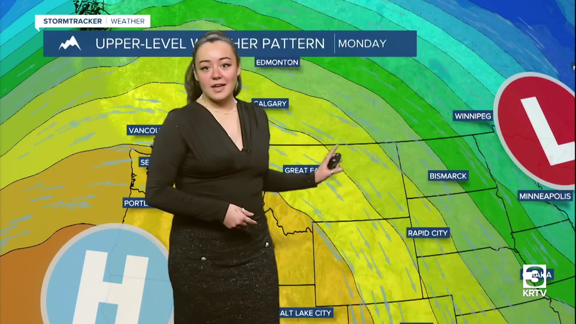
Persistent upper level ridging pushes in and takes control over this week, keeping the region dry through much of the days ahead. The main concern through this forecast period will be for gusty winds and localized blowing snow, mainly concerning the immediate eastern slopes of the Rocky Mountain Front through this evening.
As the ridge nudges eastward through the week, the risk for strong winds diminishes along the Rocky Mountain Front. Temperatures continue to moderate above average through the remainder of the work week.
Tuesday, expect mostly/partly sunny skies with high temperatures in the 30s and 40s. Winds remain around 5-10 mph with gusts up to 20-30 mph, up to 40-50 mph at times along the Rocky Mountain Front.
The next opportunity for precipitation (mainly mountain snow) will possibly arrive at the end of the week towards the weekend.
