
WEATHER DISCUSSION: Overall mild conditions persist across the area this weekend through Monday with breezy conditions diminishing this evening. Expect mostly cloudy skies with low temperatures in the 20s and 30s, with 5 to 10 mph winds.
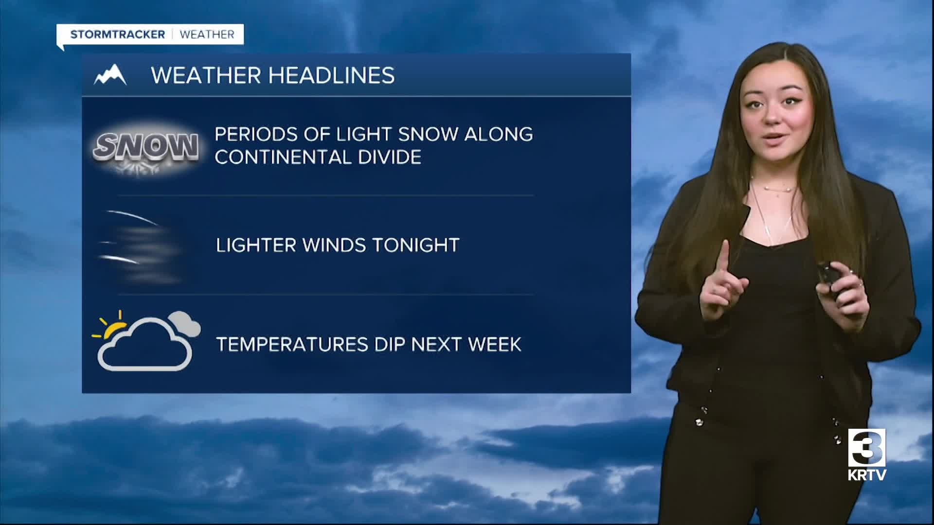
Flat upper-level ridging remains in place along with a plume of Pacific moisture streaming across the Northern Rockies. Expect some periods of mainly mountain precipitation, with measurable precip/accumulating snowfall primarily focused along the continental divide.
A few light rain/snow showers may accompany an embedded disturbance moving east across North Central MT Sunday morning. Otherwise, expect winds mainly on the lighter side through Sunday, around 5 to 10 mph with gusts up to 20 mph. There will be chances of rain and mainly upper-elevation snow. High temperatures Sunday are expected in the 40s and 50s with decreasing clouds throughout the day.
Monday looks to be the warmest day next week with high temperatures expected in the 50s and 60s with mainly dry conditions.
A significant transition in the overall weather pattern occurs on Tuesday as an offshore trough moves inland and deepens, supporting a period of widespread precipitation/snow. A lower level cold airmass surges south from Canada into the area Tuesday through Tuesday night. Colder (near to below seasonal) temperatures are likely to follow through the remainder of the week with maintaining chances for at least some localized snowfall.
