


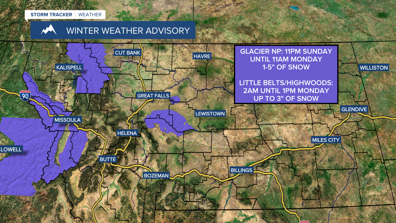
A WINTER WEATHER ADVISORY is in effect for the Glacier National Park area from 11pm Sunday until 11am Monday. 1 to 5 inches of snow accumulation is expected.
A WINTER WEATHER ADVISORY is in effect for the Highwood and Little Belt Mountains from 2am until 1pm Monday. Up to 3 inches of snow accumulation is possible.
Precipitation is likely tonight and tomorrow, generally between midnight and noon, as a cold front works its way southward through our area. This precipitation is going to start out as rain in some locations, but this rain will mix in with and switch over to snow as colder air works its way into the state. Some freezing rain is also possible tonight and tomorrow as surface temperatures will be around freezing. We are also going to have increasing clouds tonight and decreasing clouds from northeast to southwest later tomorrow.
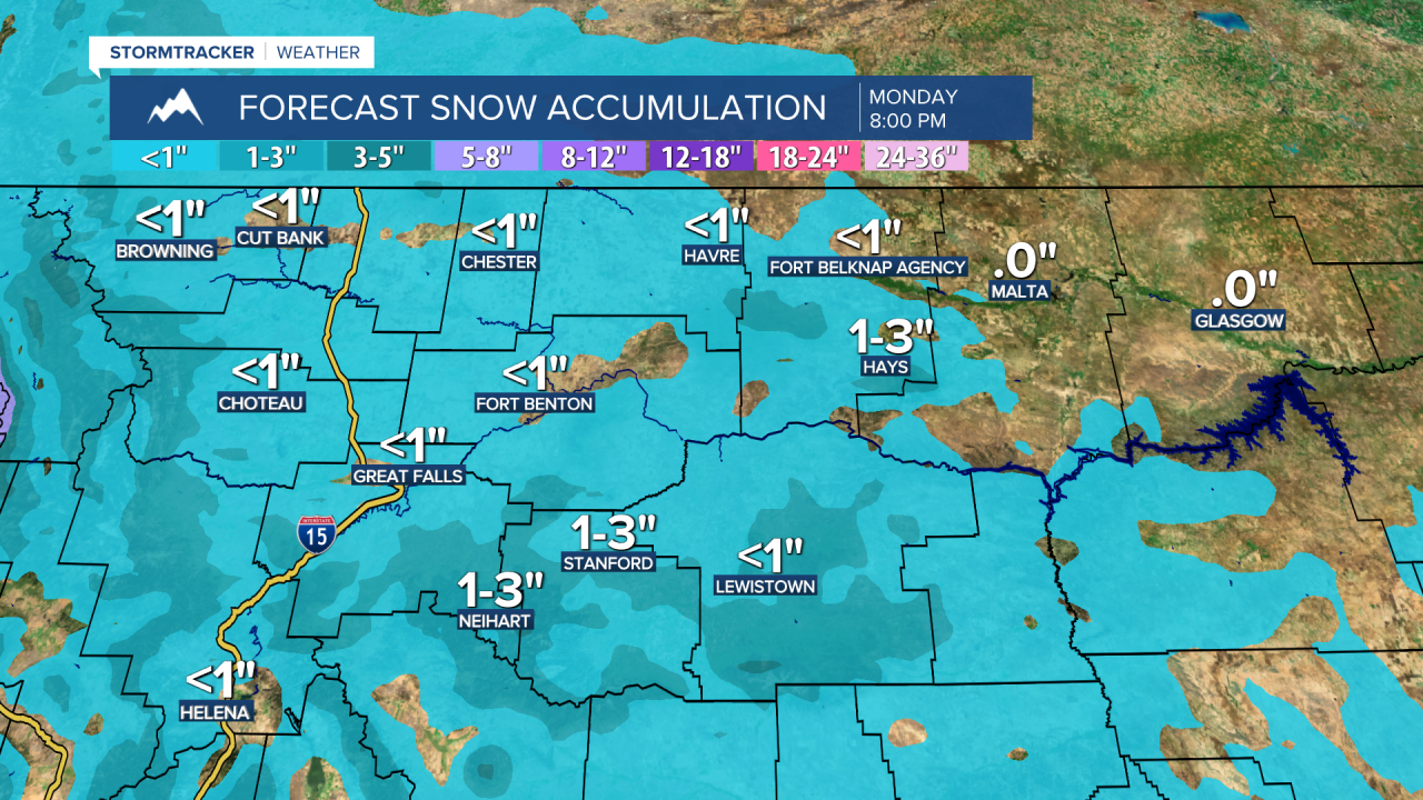
Not much snow accumulation is expected with this cold front, but a quick coating to an inch or two of snow accumulation is possible in the lower elevations, and 1 to 5 inches of snow accumulation is possible in the mountains. Roads are going to be slick in some areas for the Monday morning commute due to the combination of freezing rain and light snow accumulations, so please be careful when driving and give yourself some extra time to get to where you need to go.
Tonight, lows are going to be in the mid to upper 20s and low to mid 30s in most locations. It is then going to be cooler tomorrow than it was today as highs are going to be in the 30s in most locations. We are also going to have diminishing wind tonight, with just a little breeze around tomorrow.
On Tuesday, we are going to have mostly sunny skies with some areas of fog around during the morning. It is also going to be a little bit warmer on Tuesday than it is going to be tomorrow as highs are going to be in the mid to upper 30s and low to mid 40s. There is also going to be a bit of a breeze around in some areas on Tuesday as sustained wind speeds are going to be between 10 and 20 mph.
We are then going to have gusty winds around on Wednesday as sustained wind speeds are going to be between 10 and 30 mph, and wind gusts over 40 mph are possible. We are also going to have lots of sunshine and warmer temperatures on Wednesday as highs are going to be in the 40s and low 50s in most locations.
On Thursday, we are going to have mostly cloudy skies with a slight chance of rain and snow showers as a disturbance passes through our area. We are then going to have partly cloudy skies and dry conditions on Friday. We are also going to have above average temperatures on these two days as highs are going to be in the 40s and upper 30s in most locations. There is also going to be a bit of a breeze around on these two days as sustained wind speeds are going to be between 10 and 20 mph.
Partly cloudy skies and mainly dry conditions are then expected this weekend as high pressure is going to be in control of our weather. On Saturday, we are going to have gusty winds around as sustained wind speeds are going to be between 10 and 30 mph. It is then going to be breezy on Sunday as sustained wind speeds are going to be between 10 and 20 mph. We are also going to continue to have above average temperatures on these two days as highs are going to be in the mid to upper 40s and low to mid 50s on Saturday and the 40s on Sunday.


