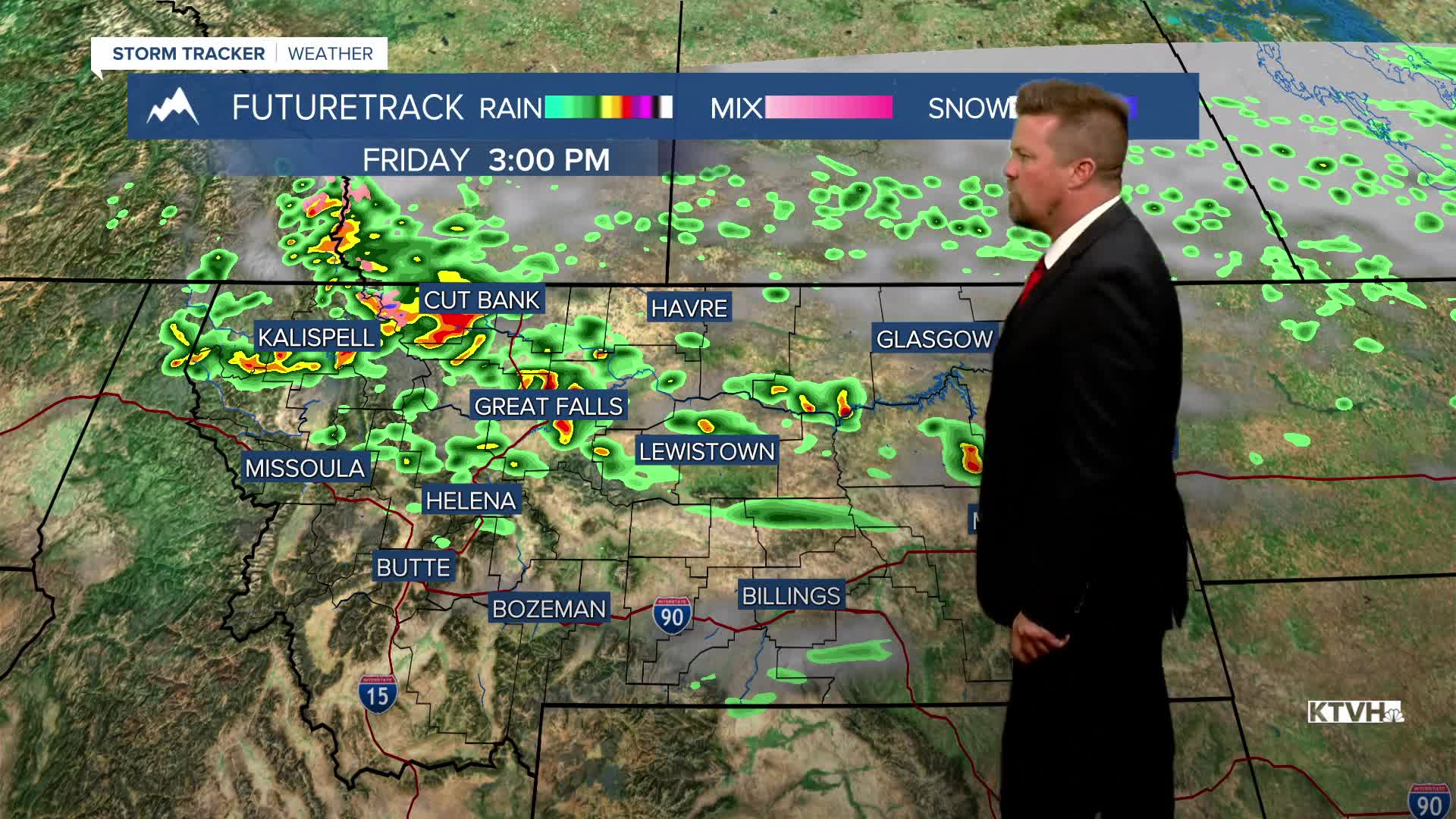


Thursday was a beautiful break from the recent rain and clouds, but another front will bring showers and thunderstorms to Montana on Friday. This will not be another lumbering storm system that drops inches and inches of rain. This is a smaller, weark front that will just be passing through, fast enough so it should clear in time for a very nice weekend. Friday will start out partly cloudy with increasing clouds from north to south. A cold front will trigger numerous showers and thunderstorms through the afternoon into the evening. Some of the storms will contain heavy rain, but those areas will be more hit and miss. Friday evening will be stormy, windy and chilly for many locations. The cold front will move across the state Friday night into Saturday morning with scattered light rain showers early on. By noon, most of the showers will have moved out of the state and the sunshine will be on the increase. Highs will be in the 50s and 60s. The Governor's Cup Race will have a couple isolated light rain showers early on with clouds breaking up toward midday. High pressure will move in with clearing skies and chilly temperatures Saturday night. Some areas could see a frost as temperatures get close to record lows in parts of Montana. Sunday will be partly to mostly sunny with highs warming into the 60s and 70s. It will be a really nice day.
Have a great day,
Curtis Grevenitz
Chief Meteorologist
