
Expect partly cloudy to mostly cloudy skies with high temperatures in the 40s, 50s, and 60s. Strong winds will continue across North Central Montana through Sunday afternoon with the highest wind gusts expected along the Rocky Mountain Front. A High Wind Warning is in effect through Sunday morning with gusts up to 80 mph possible.
Monday, expect high temperatures in the 40s, 50s, and 60s with breezy conditions and partly/mostly cloudy skies.
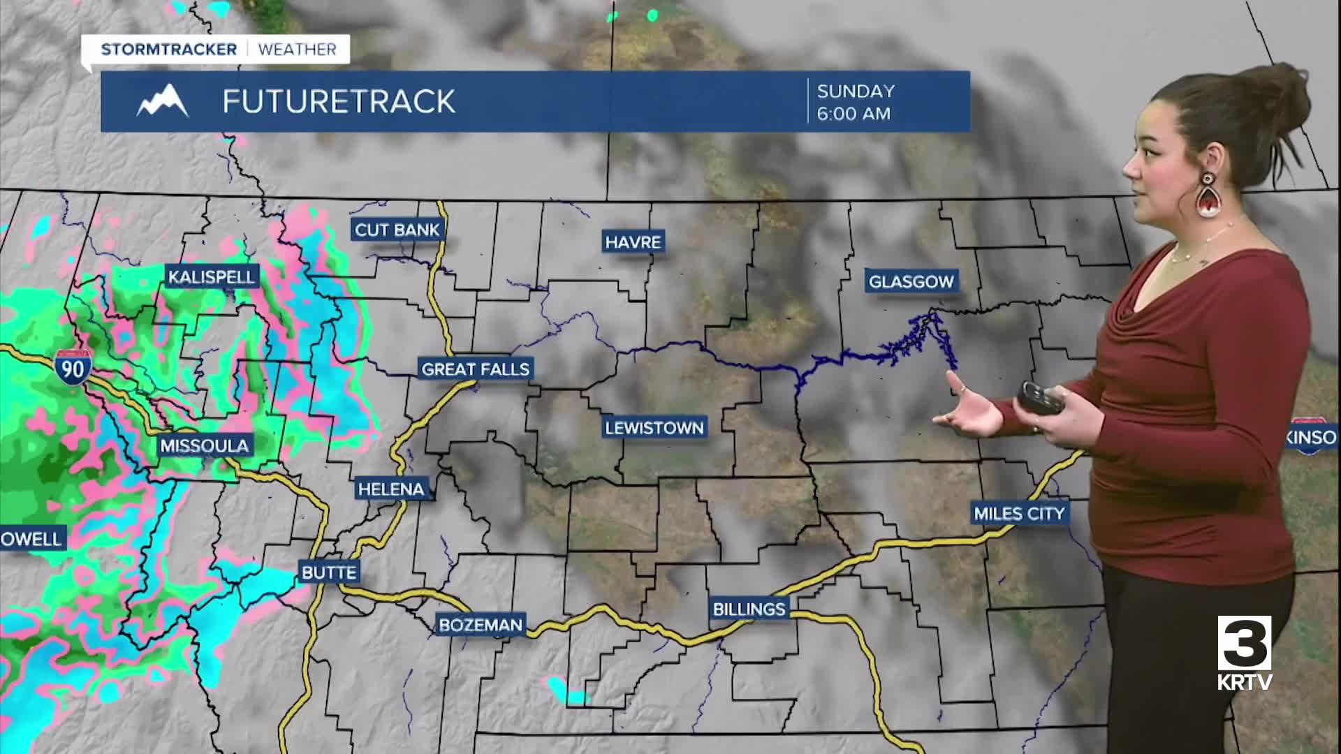
Precipitation starts along the Continental Divide tonight with a rain/snow mix transitioning to snow by early Sunday morning. Snow will start along the mountains of southwest Montana Sunday afternoon with precipitation spreading into most of the region by Sunday night into Monday morning. Snow levels Monday morning are expected to fall as low as 3500 to 4000 ft with the potential for mixed precipitation at lower elevations throughout the rest of the day.
Precipitation will then start to taper off Monday night through Tuesday morning with a return to drier conditions throughout the remainder of the week. The exception will be daily chances for isolated mountain snow showers. Expect a chillier next week with high temperatures in the 40s and low-50s.
