

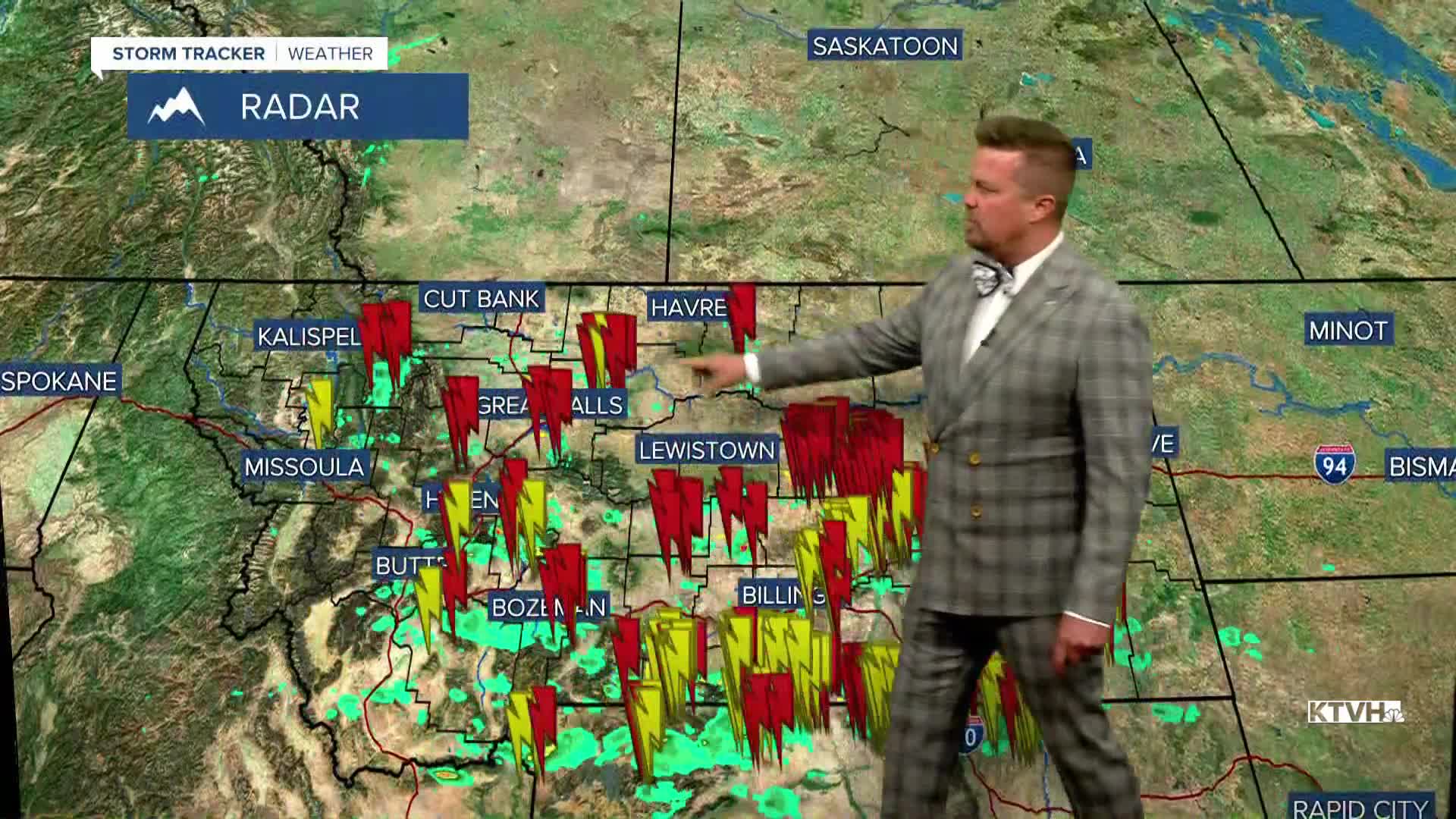


It's been almost a week since thunderstorms hit Montana with wetting rain and cooler temperatures, slowing the fire danger. Those storms are about to dry up. As you might imagine, new, small wildfire starts have have been started by the recent lightning strikes, but the cooler/wetter weather has not allowed these fires to blow up immediately. The cooler/wetter weather has offered firefighters time to respond to these fires before they can get out of control. Now as the thunderstorms move out, some heat will move back in. This along with an increase in the wind and the wildfire smoke could increase a touch, but the air quality will not deteriorate like a week ago. Wednesday will be a dry day with mostly sunny skies, highs will top out in the 80s to around 90. Thursday will be a bit warmer and breezy with highs in the 80s to low 90s. Some of Montana's wildfires could exhibit a bit more growth and thus smoke, and other fires in British Columbia, Washington and Oregon could have increased activity. Friday will be mostly sunny with an isolated thunderstorm over the southwest mountains in the afternoon. Highs will reach the 80s and low 90s, hot but not anything unusual. Saturday will be partly cloudy, hot and breezy with a few isolated thunderstorms in the afternoon. A weak front will pass Saturday night, and Sunday will be warm and windy. Highs will reach the 80s to about 90, but the wind will be fairly strong out of the west up to 25-30mph. Calmer conditions will return on Monday.
Have a great day,
Curtis Grevenitz
Chief Meteorologist
