


A WINTER STORM WARNING has been issued for the higher elevations of southwest Montana into Monday.
A WINTER WEATHER ADVISORY has been issued for some of the higher elevaitons of southwest Montana into Monday.
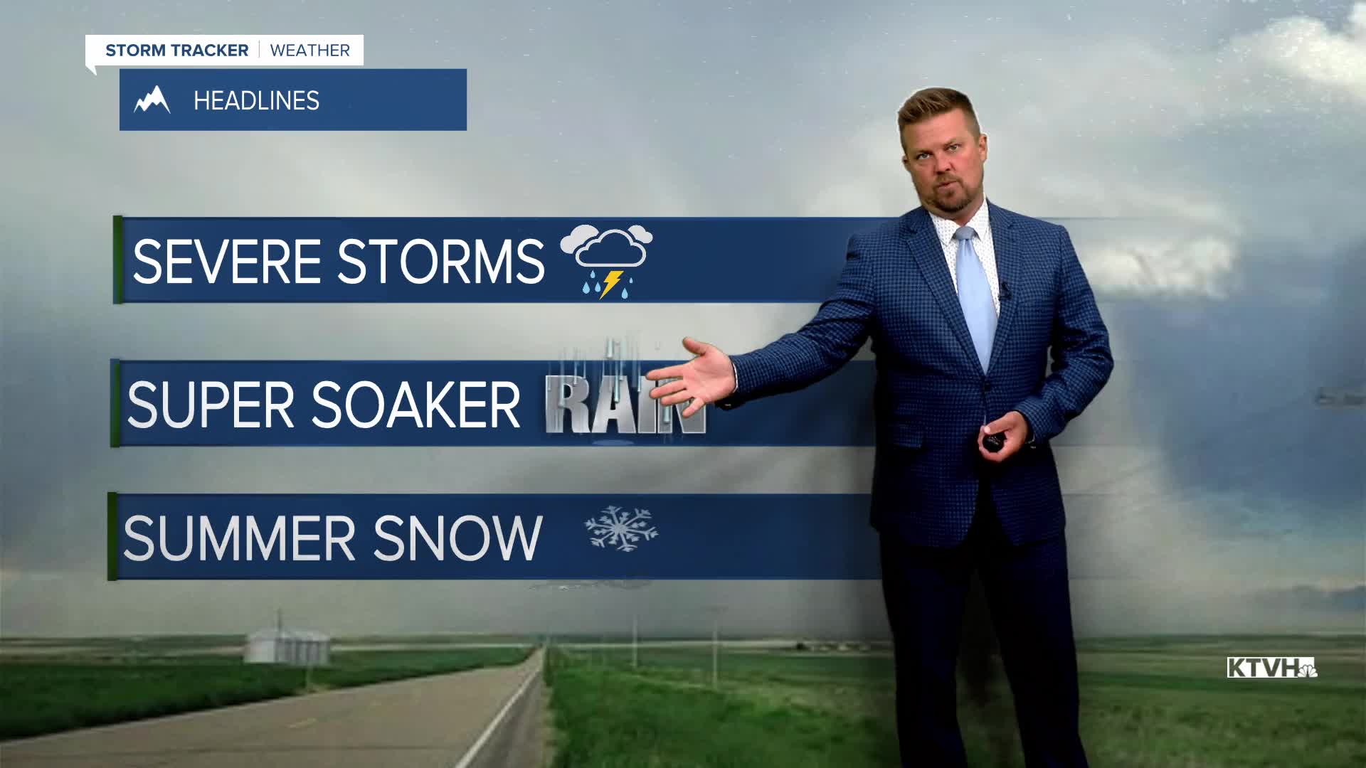
Heavy rain, severe storms and heavy mountain snow will hit Montana on the final weekend of June, an unusual early summer storm. This weekend will be wet, cool, windy with some high mountain snow. Rain and a few thunderstorms will spread across the state on Saturday. Some severe storms are possible across far eastern Montana on Saturday afternoon and evening. Highs will cool down into the 60s. Sunday will be cloudy, rainy and windy with high mountain snow. Steady, soaking rain will fall in some areas. Highs will top out in the 50s and 60s. The mountains above 6500' will be cold enough for significant accumulation. Areas of heavy rain could continue through Sunday night into Monday, and there is the possibility of flooding in some areas around Glacier, the Rocky Mountain Front, and the Continental Divide. The storm will slowly move out on Monday evening into Tuesday. Rainfall totals should generally be between 0.50" and 2.00" of rain, with up to a foot of snow in the mountains. Some of the peaks could approach 24"! Some showers and thunderstorms will be scattered through the state through next week, ideal conditions just before Independence Day Weekend.
Have a great weekend!
Curtis Grevenitz
Chief Meteorologist
