

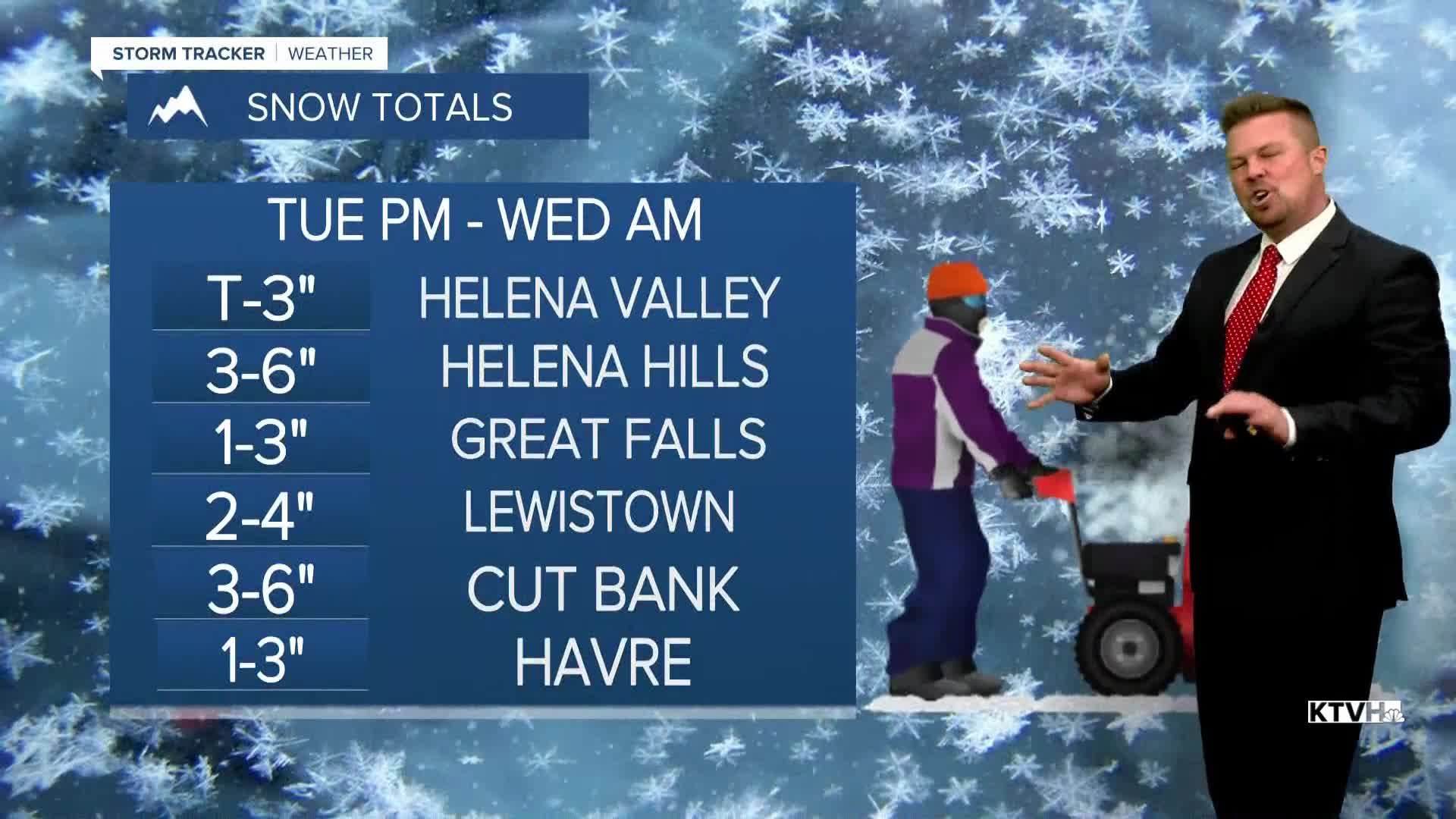


A WINTER WEATHER ADVISORY has been issued for most of central and southwest Montana from Tuesday into Wednesday.
So far this November has been warm and dry across Big Sky Country. That ends on Tuesday as a new storm will spread snow and colder temperatures across the state. Precipitation will begin as rain in the lower elevations and mix with snow through the afternoon and evening. Travel over the mountain passes will have snow covered roads most of the day. The travel conditions in the lower elevations will really deteriorate late afternoon and evening as the sun goes down. Central and eastern Montana will mainly have a dry day, with precipitation moving in later Tuesday evening into Wednesday morning. Highs will be in the 50s in eastern Montana, to the 30s and 40s elsewhere. Snow will become more widespread Tuesday night into Wednesday morning. It's not a huge storm, but most areas will see a few inches of snow. As much as a foot could accumulate on the peaks. Wednesday will turn partly cloudy through the morning for areas like Helena and Great Falls. Some morning snow up on the Hi-Line will clear by afternoon. Highs will stay chilly in the 30s to around 40. Thursday will be mostly cloudy with a few areas of light snow through the day. Little to no accumulation is expected, but it'll be cold with a few flakes coming down. Highs will be in the 30s. Friday will be mostly cloudy with some flurries in the mountains. Highs will stay in the 30s. This weekend will stay chilly with highs in the 20s and 30s. There will be a few snow showers on Saturday, but Sunday could have a few hours of light snow. Any accumulation should be light. It's the "normal" November weather everyone's been asking about.
Have a great day,
Curtis Grevenitz
