

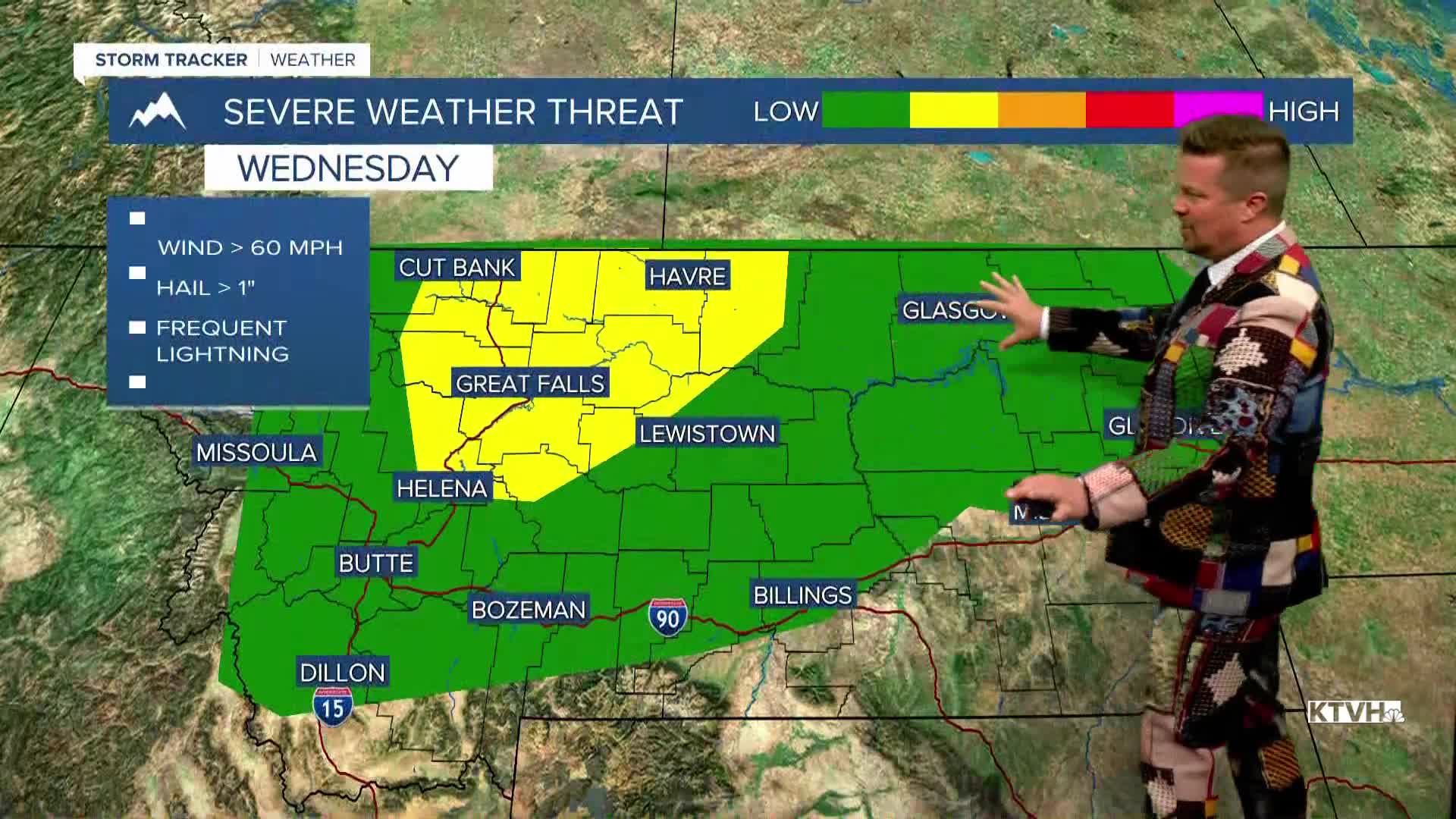


Happy meteorological fall! September 1st is the beginning of autumn in the world of meteorology. It was a beautiful day, but September 2nd will be a little different. Strong to severe thunderstorms will strike parts of Montana on Wednesday with powerful wind and large hail possible. Wednesday will start out nice but a strong front will move across the state in the afternoon and evening. Scattered thunderstorms will move through the state with a strong wind to follow. Highs will be in the 70s and 80s, but temperatures will fall into the 60s behind the front. Thursday will be a cooler day with highs in the 60s and 70s, a few 80s farther east. There will be partly cloudy skies and a pretty strong wind gusting to 30-40mph. A few showers will move over and near the mountains. There will be a touch of snow in the highest elevations. Friday is "getaway day" ahead of Labor Day weekend. Most of Montana will be mostly sunny but a few isolated thunderstorms will develop in the afternoon and evening across western Montana. Highs will be in the 70s with a few 80s farther east. Labor Day weekend won't be terrible, but there will be some scattered showers and thunderstorms on Sunday and Monday. Highs will range from the 60s in the higher terrain, to the 70s and low 80s in the lower elevations. The unofficial end of summer looks a little more like fall.
Have a great day,
Curtis Grevenitz
Chief Meteorologist
