

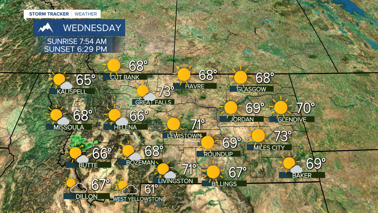


Beautiful October weather will keep on rolling for Wednesday and Thursday, but Friday will be quite stormy with rain, falling temperatures and falling snow levels. Until then, most of the state will have plenty of sunshine with above average temperatures, and little to no wind. Our next storm system is fairly close to Montana, sitting just off the coast of Oregon and California. The storm will hang out over there for a few days, only to bring a soaking rain and some snow to the state Friday into Saturday. Friday will be chilly and wet, with many places seeing that rain with temperatures in the 40s through Friday afternoon. Snow levels will lower on Friday evening, possibly down to some valleys and areas of the plains. Any accumulation should be confined to the mountains. Friday afternoon will be windy as the storm moves through the state. Saturday will be partly cloudy and blustery behind the storm, highs will top out in the 40s and low 50s. Sunday a little light snow is likely across northern and central Montana. Snow will be very light, but much of the Hi-Line will get some flurries at least. Some light snow is possible in Great Falls, but areas south of there like Helena should be mostly cloudy and mainly dry. Highs will be cold enough for the snow, as highs top out in the 30s to around 40. Sunday night will be pretty chilly with lows in the 10s and 20s. Temperatures will stay cool but slowly warm up through Tuesday and Wednesday.
Have a great day,
Curtis Grevenitz
Chief Meteorologist
