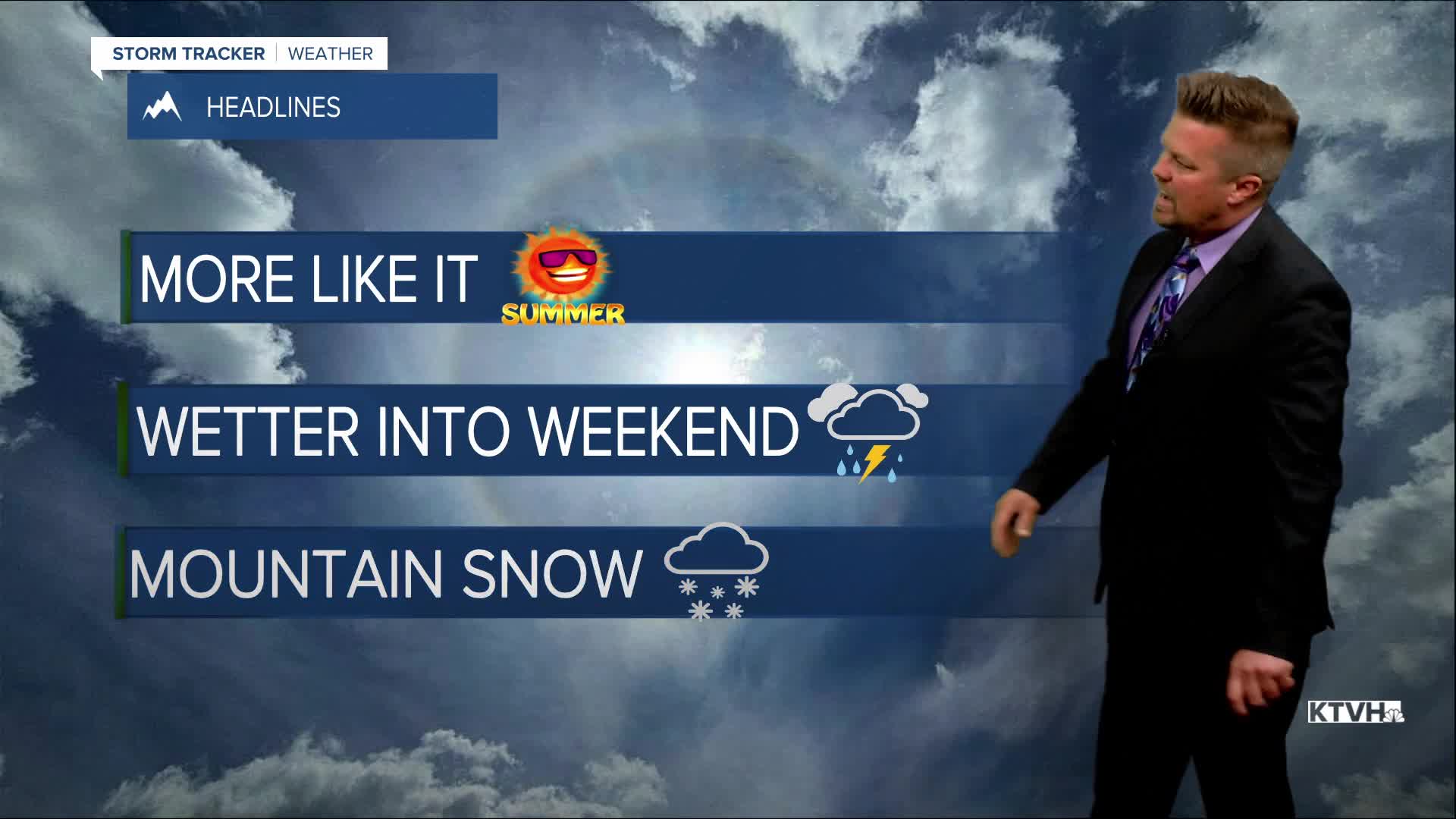


Tuesday felt a little more like summer with sunshine and warmer temperatures, although much of the state was still below normal. Enjoy the sunshine and relative warmth now because the weather will get progressively wetter and cooler late this week through the weekend. Wednesday will be another nice early summer day with highs in the 70s, partly cloudy skies, and just a few isolated mountain storms. Thursday will be partly to mostly cloudy with scattered showers and thunderstorms across most of Montana. The clouds and wet weather will cool temperatures back down into the 60s and 70s. Friday, a strong cold front will move into western Montana with increasing clouds and scattered afternoon showers and thunderstorms. Eastern Montana should be dry. This weekend will be wet, cool, windy with some high mountain snow. Rain and a few thunderstorms will spread across the state on Saturday. Some severe storms are possible across far eastern Montana on Saturday afternoon. Highs will cool down into the 60s. Sunday will be cloudy, showery, windy with some high mountain snow. Steady, soaking rain will fall in some areas. Highs will top out in the 50s and 60s. The mountains above 7000' will be cold enough for some summer snow. Areas of heavy rain could continue into Monday, and there is the possibility of flooding in some areas around Glacier. This storm is still days away and some change in the forecast is possible, but the first full weekend of summer will be more like spring.
Have a great day!
Curtis Grevenitz
Chief Meteorologist
