

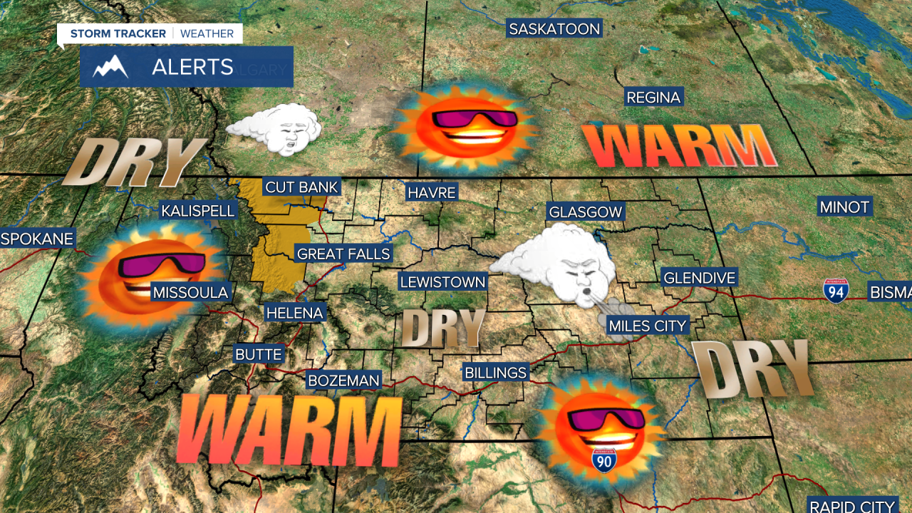


A HIGH WIND WARNING has been issued for the East Glacier area for Saturday.
60s and 70s, loads of sunshine, dry conditions, powerful wind at times - this weekend is very different than last weekend. There still are some areas with snow on the ground from last weekend's storm. That snow will continue to melt with warm temperatures and abundant sunshine. Temperatures will warm into the 60s and 70s with a strong wind across the plains, Continental Divide and off the Rocky Mountain Front on Saturday. A dry cold front will move through the state on Saturday night. Slightly cooler air will follow the front on Sunday, but the wind will be much lighter. Sunday will be mostly sunny with highs in the 50s and 60s. Warm, dry and mostly sunny weather will continue Monday and Tuesday. A very isolated shower or thunderstorm is possible Tuesday afternoon. Some clouds will increase Wednesday, but it's Thursday and Friday that the next storm will bring more significant precipitation back to Montana.
Have a great weekend,
Curtis Grevenitz
Chief Meteorologist
